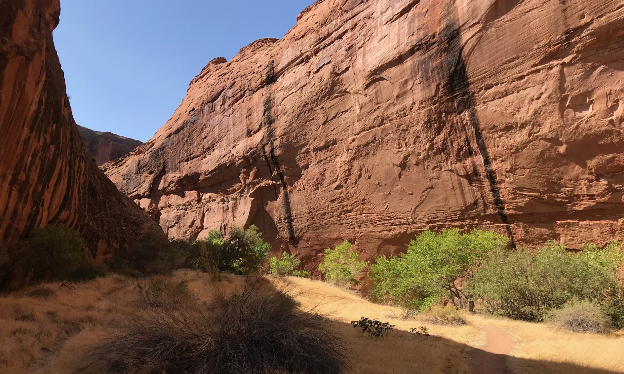
By Gloria Gardiner, OFWU Steering Committee (all photos by the author)
For many years, I have hiked and photographed public lands in Utah and participated in land stewardship projects in the Pacific Northwest. On Saturday and Sunday, May 4-5 of this year, I participated in a SUWA stewardship weekend in southeastern Utah.
Of the nine volunteers, most were from Utah. One was from the Denver area, and I came from Portland. Our project leader was from SUWA, and a BLM backcountry ranger selected the projects and worked with us all weekend. The overall objectives were (a) to delineate the boundaries of BLM’s Coal Canyon Wilderness Study Area (WSA), and (b) to discourage illegal motor vehicle use inside the WSA. The work sites were about an hour east of Moab, Utah, and north of Interstate 70 in the Book Cliffs, the longest continuous rock escarpment in the world.


We began work on Saturday at a particular wash that comes out of a canyon in the WSA. It channels floodwaters, but it also attracts illegal off-highway vehicles (OHV) to travel into the WSA. On Saturday, with the BLM ranger’s direction, assistance, tools, and materials, we built a flood fence across the wash. This simple fence used wood posts, a steel cable connecting the posts, and wooden 2×4’s hanging from the cable but not touching the ground. The fence blocks most vehicular access while allowing flood waters to go down the wash. We finished this project in one day.


The ranger went back to Moab, and the rest of us set up a primitive camp for the night. I lay in my tent on my ancient Therma-Rest inflatable pad, covered by my down sleeping bag, and looked up at the cottonwood trees and desert sky. It was completely quiet. Our SUWA project leader provided dinner on Saturday night and coffee the next morning.

It took only part of Sunday to complete the other projects. First, we put wooden legs on a metal BLM sign and erected it at the WSA boundary.


Next, we disguised evidence of illegal motor vehicle usage in several places. We used boulders, dead juniper limbs, and duff from under living juniper trees. We shoveled and raked dirt to remove tire tracks.


Then we went our separate ways.
I stayed three more days in Moab to hike the East Rim and West Rim loop in Dead Horse Point State Park and the Murphy Trail in Canyonlands National Park’s Island in the Sky unit. I also drove the scenic La Sal Mountain Loop Road. Driving south of Moab in a counter-clockwise direction, the road descends from the snow-capped La Sal Mountains into Castle Valley, with red rock formations that rival those in Arches National Park. A left turn onto Utah Route 128 follows the Colorado River canyon west back to Moab. Here are a few of my photographs.
Dead Horse Point State Park


Island in the Sky District, Canyonlands National Park


La Sal Mountains

Route 128, Colorado River

Castle Valley


